Providing geophysical services to underground resource industries worldwide since 1984
UNDERGROUND MAPPING
WITHOUT DRILLING
Our underground mapping technology creates a detailed log of the subsurface lithology with no need for drilling.
QUICK INQUIRY
Underground Mapping in Advance of Drilling
Using naturally occurring electric currents in and around earth we determine the underground lithology.
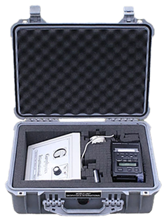
PETRO-SONDE Underground Mapping Technology
We can produce highly detailed and accurate logs of underground lithology. Our technology is very affordable and is often used as a double check before drilling.
DATA RESULTS
Determine lithology breaks.
Track the updip direction.
Depths and thickness of pay zones.
Avoid crossing faults.
CONFIDENCE IN RESULTS
The (patented/proprietary) technology requires no drilling, no signal injection, no environmental impact and the data collection can normally be done by a single individual in just a few hours.
| ABSENCE OF HYDROCARBONS: The next best thing to knowing where oil and water are present is knowing where they are NOT. | 97% |
| LITHOLOGY (NORMAL): Following known marker formations, determining extents of sand formation. | 90% |
| FLUID (WATER): Determining presence of fresh water within a known porous formation, reservoir mapping. | 85% |
| LITHOLOGY (COMPLEX): Includes salt domes, reefs areas of extreme dip or faults. | 80% |
| FLUID (OIL/GAS): Determining presence of hydrocarbon oil or gas within a known porous formation, reservoir mapping. | 75% |
| LITHOLOGY: Unknown area, or far from known well, determine formation thickness and depth. | 75% |
| WILDCAT WATER: Unknown area, or far from known well, determine presence of fresh water. | 70% |
| FRESHWATER / SALTWATER: Differentiate between fresh and salt water reservoirs. | 70% |
| WILDCAT OIL/GAS: Unknown area, or far from known well, determine presence of hydrocarbon. | 47% |
REQUEST MORE INFORMATION
Our specialists can answer any specific questions you may have.
or just call (814) 459-6117